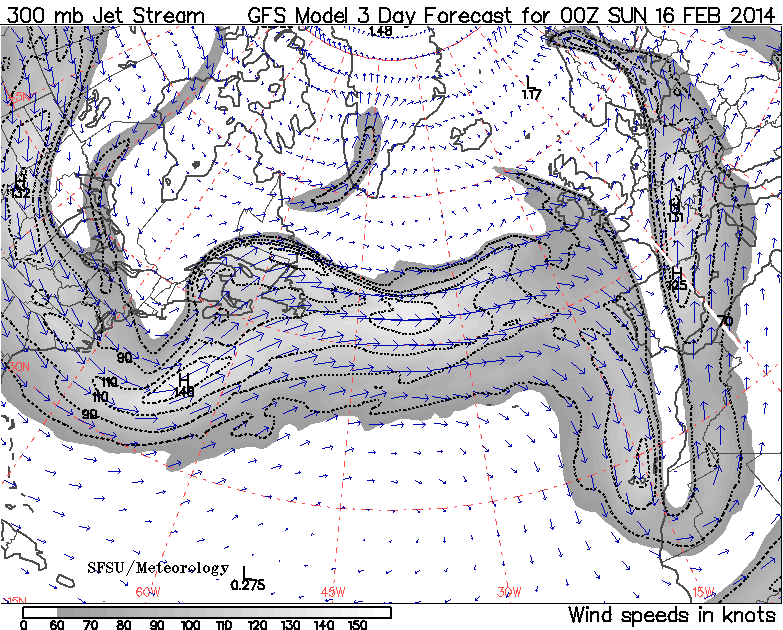
I was browsing the news coverage of the Olympics abroad when I noticed that, not only is our SoCal drought continuing, but the barrage of storms hitting the UK continues as well. Hurricane-force winds is no exaggeration. And more is on the way. Take a look at the forecast for midnight Fri/Sat night. Click the plot below to make it bigger and you see a low of 956 mb. That's consistent with a category 3 hurricane.
The winds will behave like a hurricane, too. First, the winds come.
Then, as the low passes, the winds calm.
Then the winds return.
Go to the California Regional Weather Server to view the animation.
The visualizations come from Unisys and CRWS, but both display forecast data from NOAA/NCEP's GFS Global Forecast System Model. A certain senator may want to cut the NWS budget because he gets his weather from Accuweather. Commercial weather services are good at "branding" the weather with nice graphics. But, in the end, everyone gets their data from a government center.


No comments:
Post a Comment
Comments are open for recent posts, but require moderation for posts older than 14 days.